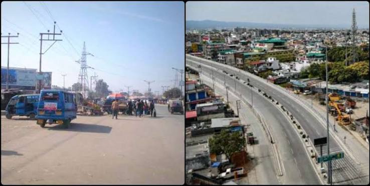
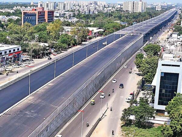
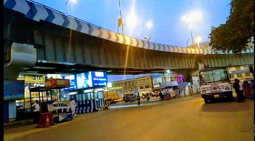
Dunlop Bridge, officially known as the Shahid Bhagat Singh Flyover, is a prominent urban flyover in North Kolkata. Located in the Dunlop area of Baranagar, it is a vital infrastructure project that helps ease heavy traffic at the busy Dunlop Crossing — one of the largest and most congested junctions in North Kolkata.
Inaugurated on 8 October 2012, the bridge connects Barrackpore Trunk Road (B.T. Road) with PWD Road and significantly improves traffic flow for vehicles heading towards Dakshineswar, Belgharia, and northern suburbs.
Dunlop Bridge Location
Dunlop Bridge is situated at the busy Dunlop Crossing in Baranagar, North 24 Parganas district.
- Address: Shahid Bhagat Singh Flyover, Dunlop Crossing, B.T. Road, Dunlop, Baranagar, Kolkata
- PIN Code: 700108
- Type: Elevated Flyover / Bridge
- Significance: Major traffic decongestion flyover connecting B.T. Road and PWD Road
How to Reach Dunlop Bridge
| From | Distance | Approx. Time | Best Options |
| Dakshineswar Kali Temple | 2–3 km | 8–15 minutes | Auto, Cab, Bus |
| Baranagar Metro Station | 3–4 km | 10–18 minutes | Auto / Cab |
| Howrah Railway Station | 10–12 km | 30–45 minutes | Cab / Bus |
| Sealdah Railway Station | 8–10 km | 25–40 minutes | Cab / Metro + Auto |
| Kolkata Airport (CCU) | 12–15 km | 30–50 minutes | Cab / Taxi |
| Shyambazar | 6–8 km | 20–35 minutes | Bus / Cab via B.T. Road |
| Belgharia | 4–5 km | 10–20 minutes | Bus / Auto |
Road & Bridge Connectivity
- Located at the intersection of Barrackpore Trunk Road (B.T. Road), Gopal Lal Tagore Road, and PWD Road.
- Part of the important north Kolkata road network connecting to Belghoria Expressway.
- Major bus junction with good PMPML and private bus connectivity.
- Nearest railway stations: Baranagar Road, Dakshineswar, and Bally Ghat.
- Yellow Line Metro (Baranagar–Dakshineswar) has significantly improved access to the area.
Nearby Areas and Landmarks
| Landmark / Area | Distance | Description |
| Dakshineswar Kali Temple | 2–3 km | Famous Kali Temple associated with Sri Ramakrishna. |
| Baranagar Metro Station | 3–4 km | Modern metro connectivity on Yellow Line. |
| Indian Statistical Institute (ISI) | Nearby | Prestigious research institute. |
| Bonhooghly Government Colony | Adjacent | Major residential area. |
| Belgharia Expressway | Close | Fast connectivity to airport and other parts of Kolkata. |
| Bally Bridge (Vivekananda Setu) | 5–6 km | Historic rail-cum-road bridge over Hooghly River. |
| Dunlop Area Market | Adjacent | Busy local market with shops and eateries. |
Significance
Dunlop Bridge (Shahid Bhagat Singh Flyover) is a much-needed infrastructure addition that has eased chronic traffic congestion at one of North Kolkata’s busiest crossings. The area around Dunlop is a mix of residential colonies, markets, and educational institutions. Its strategic location makes it an important transit point for commuters travelling between Kolkata and the northern suburbs.
Frequently Asked Questions (FAQs)
Q1. What is the official name of Dunlop Bridge?
A: It is officially called Shahid Bhagat Singh Flyover.
Q2. Where is Dunlop Bridge located?
A: It is at Dunlop Crossing on B.T. Road in Baranagar, North 24 Parganas (PIN 700108).
Q3. When was Dunlop Bridge inaugurated?
A: It was opened to traffic on 8 October 2012.
Q4. Which Metro station is nearest to Dunlop Bridge?
A: Baranagar Metro Station and Dakshineswar Metro Station are the closest.
Q5. Is Dunlop a good residential area?
A: Yes, it is a well-connected, developing residential locality with good access to markets, temples, metro, and major roads.