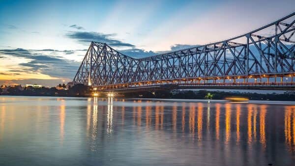
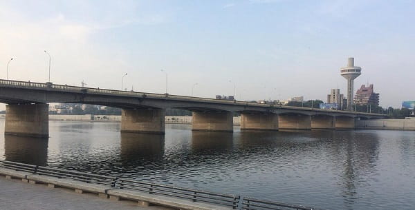
Sigandur Bridge, also known as the Sharavathi Bridge or Ambaragodlu-Kalasavalli Bridge, is Karnataka’s longest cable-stayed bridge and India’s second-longest cable-stayed bridge. Inaugurated in July 2025 by Union Minister Nitin Gadkari, this modern engineering marvel spans the backwaters of the Sharavathi River in the picturesque Malnad region.
The bridge has dramatically improved connectivity between Sagara and surrounding areas, reducing travel time by nearly two hours and opening up access to the famous Sigandur Chowdeshwari Temple and other remote villages.

Sigandur Bridge Location
The bridge is located in Sagar Taluk of Shivamogga (Shimoga) district, Karnataka.
- Address: Sigandur / Sharavathi Cable-Stayed Bridge, Ambaragodlu to Kalasavalli, Sagar Taluk, Shivamogga District, Karnataka
- PIN Code: 577401
- Length: 2.44 km (main cable-stayed span)
- Total Length with approaches: Approx. 6 km
- Width: 16 metres
- Type: Extradosed Cable-Stayed Bridge
How to Reach Sigandur Bridge
| From | Distance | Approx. Time | Best Options |
| Sagara Town | 18–22 km | 40–60 minutes | Cab, Taxi, KSRTC Bus |
| Shivamogga (Shimoga) | 65–70 km | 1.5 – 2 hours | Cab / Bus |
| Jog Falls | 40–45 km | 1.5 hours | Cab |
| Honnavar (Coastal Karnataka) | 70–75 km | 2 – 2.5 hours | Cab / Bus |
| Bengaluru | 380–400 km | 8 – 9 hours | Bus / Train to Sagara + Cab |
| Sigandur Chowdeshwari Temple | 2–3 km | 10 minutes | Auto / Cab |
Best Route: Most visitors travel to Sagara first and then take a cab or local bus to the bridge.
Road & Bridge Connectivity
- Connects Ambaragodlu and Kalasavalli villages across the Sharavathi backwaters.
- Part of the improved road network in the Malnad region.
- Designed to withstand heavy rainfall and seismic activity.
- Offers stunning views of the Sharavathi River backwaters and surrounding Western Ghats.
Nearby Areas and Landmarks
| Landmark / Area | Distance | Description |
| Sigandur Chowdeshwari Temple | 2–3 km | Famous temple dedicated to Goddess Chowdeshwari, a major pilgrimage site. |
| Sharavathi River Backwaters | Beneath the bridge | Beautiful reservoir with lush green hills. |
| Jog Falls | 40–45 km | One of India’s highest waterfalls. |
| Linganamakki Dam | Nearby | Major dam on the Sharavathi River. |
| Sagara Town | 18–22 km | Historic town known for its temples and markets. |
| Honnavar & Coastal Karnataka | 70 km | Western coast accessible via the new bridge route. |
Significance
The Sigandur Bridge is a landmark infrastructure project that has transformed connectivity in the remote Malnad region of Karnataka. By bridging the Sharavathi backwaters, it has boosted tourism, pilgrimage, agriculture, and local trade. Its elegant cable-stayed design against the backdrop of Western Ghats makes it not only an engineering achievement but also a scenic attraction for travellers.
Frequently Asked Questions (FAQs)
Q1. Where is Sigandur Bridge located?
A: It is in Sagar Taluk, Shivamogga district, spanning the Sharavathi River backwaters.
Q2. When was Sigandur Bridge inaugurated?
A: It was inaugurated in July 2025 by Union Minister Nitin Gadkari.
Q3. How long is the Sigandur Bridge?
A: The main cable-stayed portion is 2.44 km long, making it Karnataka’s longest cable-stayed bridge.
Q4. Is Sigandur Bridge open for vehicles?
A: Yes, it is a fully operational road bridge for all types of vehicles.
Q5. What is the best time to visit Sigandur Bridge?
A: October to March is ideal for pleasant weather and beautiful views. Monsoon offers lush greenery but heavy rainfall.